Westerville Water-Line Letters Raise Questions Despite Low Lead Test Results
∙ Paid
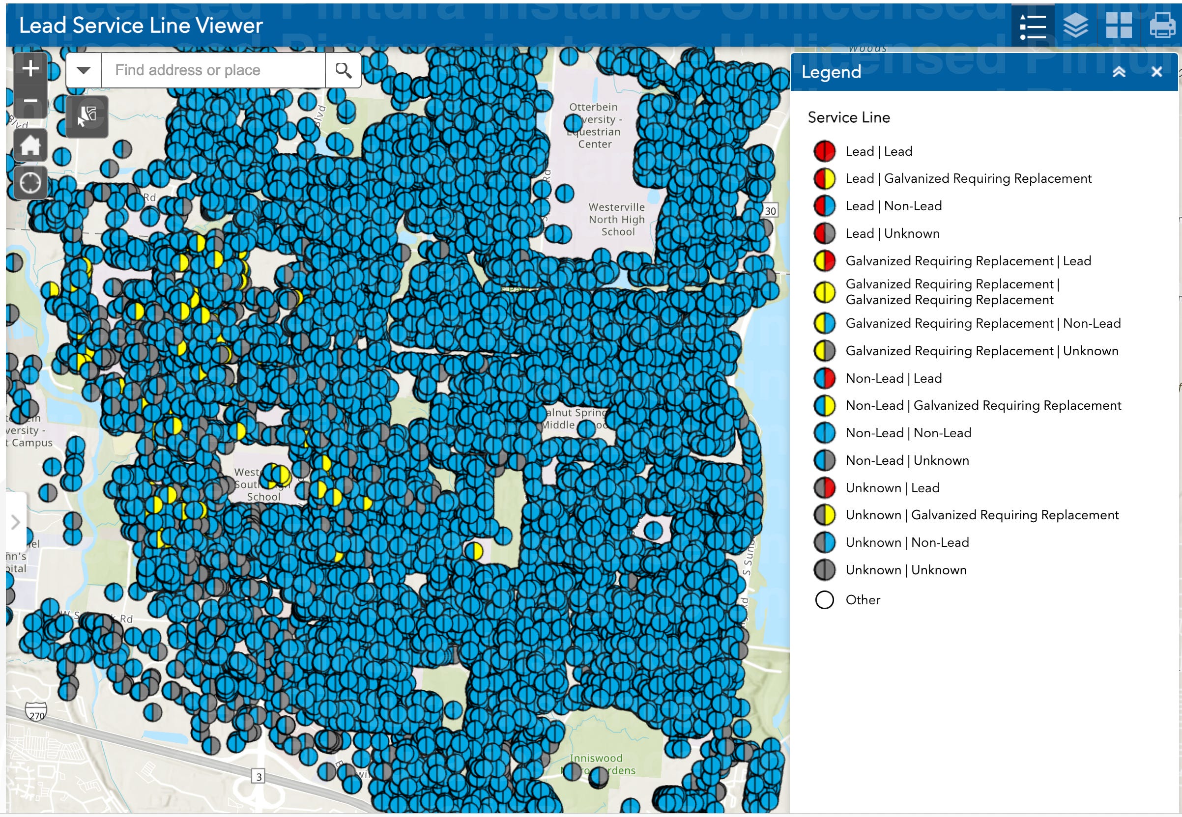
Westerville’s current GIS viewer shows individual water service connections and the status of both the city-owned and private portions of each line. The map is part of the service-line inventory required under the EPA’s LCRR and LCRI.
Westerville’s latest compliance testing found lead levels well below the federal rules, even as a limited number of resid…
Continue reading this post for free, courtesy of Gary Gardiner.